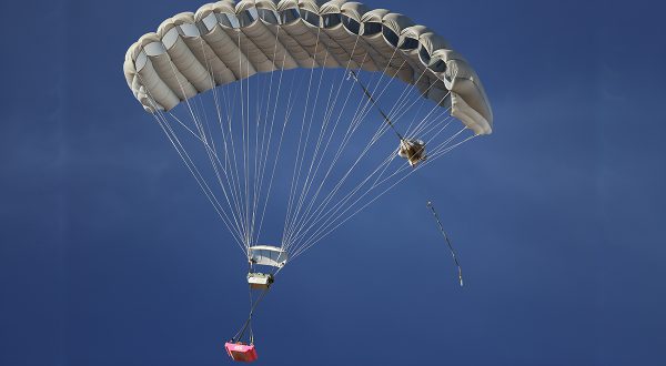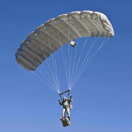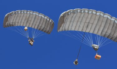


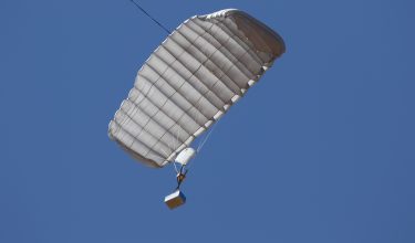


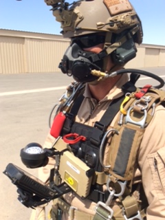
Advanced Parachute Navigation Missions Systems Technology
The jTrax® Navaid parachute navigation system is a device worn on an army jumper’s harness to aid in navigation to the intended Impact Point (IP). The technology is the same that is utilized in our Guided Precision Aerial Delivery Systems (GPADS), ensuring accurate and proven technology. The Navaid improves safety and increases effectiveness of military jumpers by providing accurate navigation for even the most demanding missions.
Reliable Even At Extremes
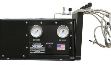
The jTrax® Navaid parachute navigation system includes:
- one pilot unit
- one display screen
- one support board or harness
- one back-up compass (optional)
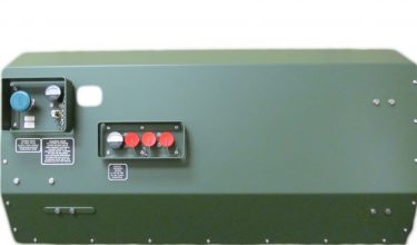
The jTrax® Pilot Unit has been specifically designed for the military free fall mission. The ruggedized module uses a proven sensor suite derived from the avionics of the Airborne Systems family of Guided Precision Aerial Delivery Systems (GPADS). Various adjustable settings allow the user to configure the display based on the experience of the jumpers and the requirements of the mission.
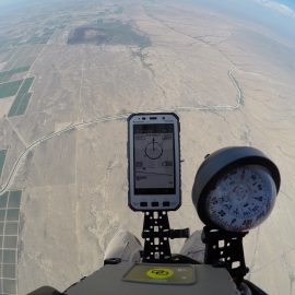
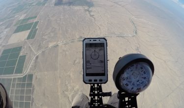
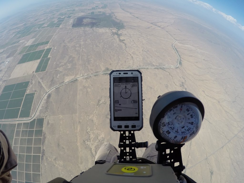
Durable Display
Three types of screens can be displayed to the jumper:
- Jumpmaster screen to be used on the plane to check the progress of the flight toward the release point.
- Navigation screen to be used under canopy to guide the jumper towards the landing zone.
- Map display of the area below the jumper during the flight under canopy.
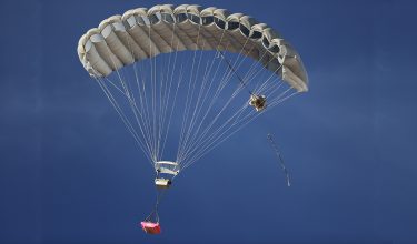
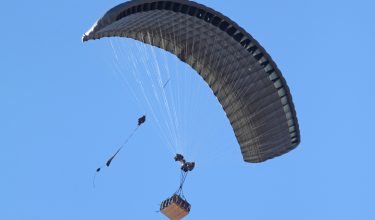
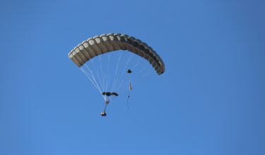
Successful, Safe Missions
The jTrax® Navaid parachute navigation system can have one primary target and two alternate landing targets. A push button located on the jTrax® Pilot can be activated with gloves to allow the jumper to rotate through screens and landing areas. The jTrax® Navaid is fully integrated with the jTrax® Mission Planner software developed by Airborne Systems for GPADS and Military Free Fall operations.
Adaptable Mission Planner Software
The jTrax® Mission Planner is proprietary software that provides mission planning for military freefall jumps well as guided cargo drops. It allows the user to select mission parameters such as payload weight, canopy, aircraft type, release altitude, speed, heading, and IP location. The Mission Planner automatically downloads wind data and plans the mission for optimum release point taking into account failure footprint. The user can then change to desired release points and assess the reliability of alternate plans based on wind conditions, parachute performance and arrival altitude. This allows customization to meet complex mission parameters without increasing risk due to unknown trajectories or parachute performance. The planned mission can then be simulated and output to Google Earth for visualization and terrain assessment.