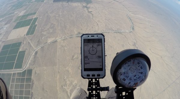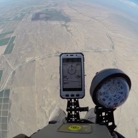
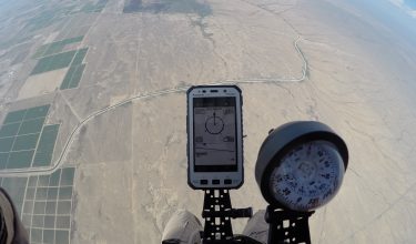


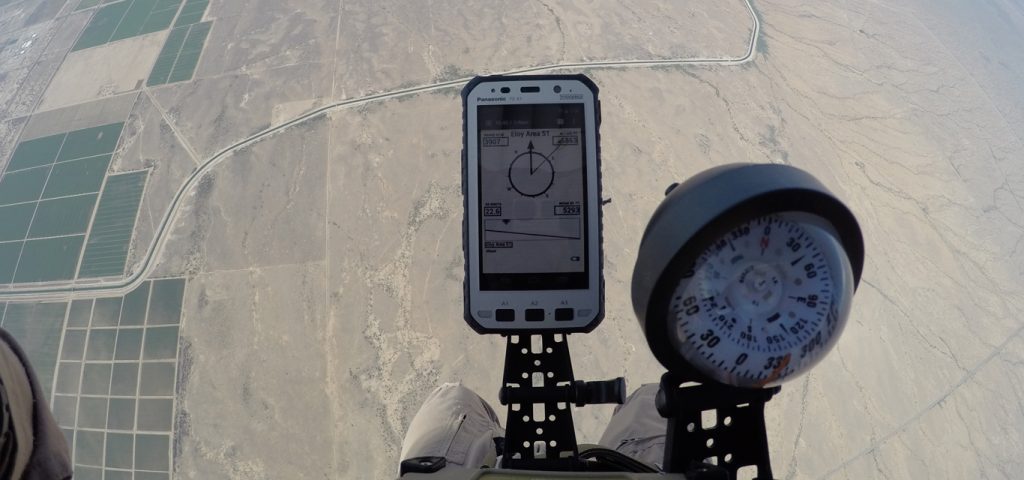

jTrax® Mission Planner (MP) is Airborne Systems’ proprietary software that allows the Jumpmaster to quickly determine the Release Point (RP) for personnel and Guided Precision Aerial Delivery Systems (GPADS) drops.
jTrax® MP is operated in three simple steps:
• Select the parachute system and All Up Weight (AUW)
• Select the Impact Point (IP) and exit altitude
• Select the aircraft to be used
jTrax® MP automatically downloads the wind forecast from the National Oceanic and Atmospheric Administration (NOAA). jTrax® MP then calculates the Launch Acceptability Region (LAR), the region in which the team can jump and be able to reach the IP. This allows the Jumpmaster to move the RP anywhere within the LAR.
Failure Footprint
jTrax® MP provides the Jumpmaster with a failure footprint represented by a red circle. The failure footprint is the region in which the payload or team could land in the event of navigation error or system failure, providing a grid for a search team to locate the jumper or cargo.
Satellite Imagery
jTrax® MP uses satellite imagery, which allows the Jumpmaster to use the software to brief the team on obstacles, targets, and flight path to the IP.